Tagged: ArcGIS
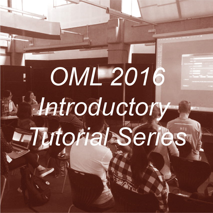
2016 OML Introductory Tutorial Series
OML provided several introductory software workshops over the second week of semester 1, 2016 . These will be geared primarily for beginners. OML had been recorded these introductory tutorials for you to access....
ArcGIS Suite
ArcGIS is suite of programs which offer GIS (geographic information system) modelling and mapping and GIS data analysis functionality. The suite includes ArcMap, ArcViewer and ArcReader. ESRI is one of the largest GIS software...
Eric Sanderson pictures New York’s Natural History
400 years after Hudson found New York harbor, Eric Sanderson shares how he made a 3D map of Mannahatta’s fascinating pre-city ecology of hills, rivers, wildlife — accurate down to the block — when...


Recent Comments