Monthly Archive: May 2012
Autodesk® Softimage® software is a high-performance 3D character animation and visual effectsapplication. Intuitive, nondestructive workflows, together with the innovative ICE (Interactive Creative Environment) and Autodesk® Face Robot® facial animation toolset, extend Autodesk® Maya® orAutodesk® 3ds Max® software pipelines....
Autodesk® 3ds Max® and Autodesk® 3ds Max® Design software provide powerful, integrated 3D modeling, animation, and rendering tools that enable artists and designers to focus more energy on creative, rather than technical challenges. The...
Autodesk® Maya® 3D animation software delivers a comprehensive creative feature set with tools for animation, modeling, simulation, rendering, matchmoving, and compositing on a highly extensible production platform. For visual effects, game development, post production,...
Google SketchUp is a 3D modeling tool that is intuitive, fun and free for anyone to use. Videos to watch if you are new to SketchUp or if you want a refresher of the...
Welcome to The Sketchup Show – a free video tutorial series about Google SketchUp and Google Layout, produced by School (a Google Authorized Training Center). To find a complete listing of The SketchUp Show...
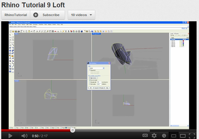
Beginners Rhino tutorials – essential skills to model in Rhino. From Rhino Tutorials on Youtube. 1 | Blocks 2 | Loft 3 | Smash & Unroll 4 | Booleans 5 | Importing PDF...
View, edit, and share your DWG™ files with anyone, anywhere. AutoCAD WS mobile app enables you to work with AutoCAD® drawings directly on your iPad, iPhone, or iPod touch. Accurately annotate and revise drawings...
AutoCAD is probably the most popular and widely used of the CAD packages. Like other CAD programs is offers 2D drafting and 3D modelling functions. AutoCAD is a large and deep program functionally. Basic 2D...
ArcGIS is suite of programs which offer GIS (geographic information system) modelling and mapping and GIS data analysis functionality. The suite includes ArcMap, ArcViewer and ArcReader. ESRI is one of the largest GIS software...
400 years after Hudson found New York harbor, Eric Sanderson shares how he made a 3D map of Mannahatta’s fascinating pre-city ecology of hills, rivers, wildlife — accurate down to the block — when...


Recent Comments